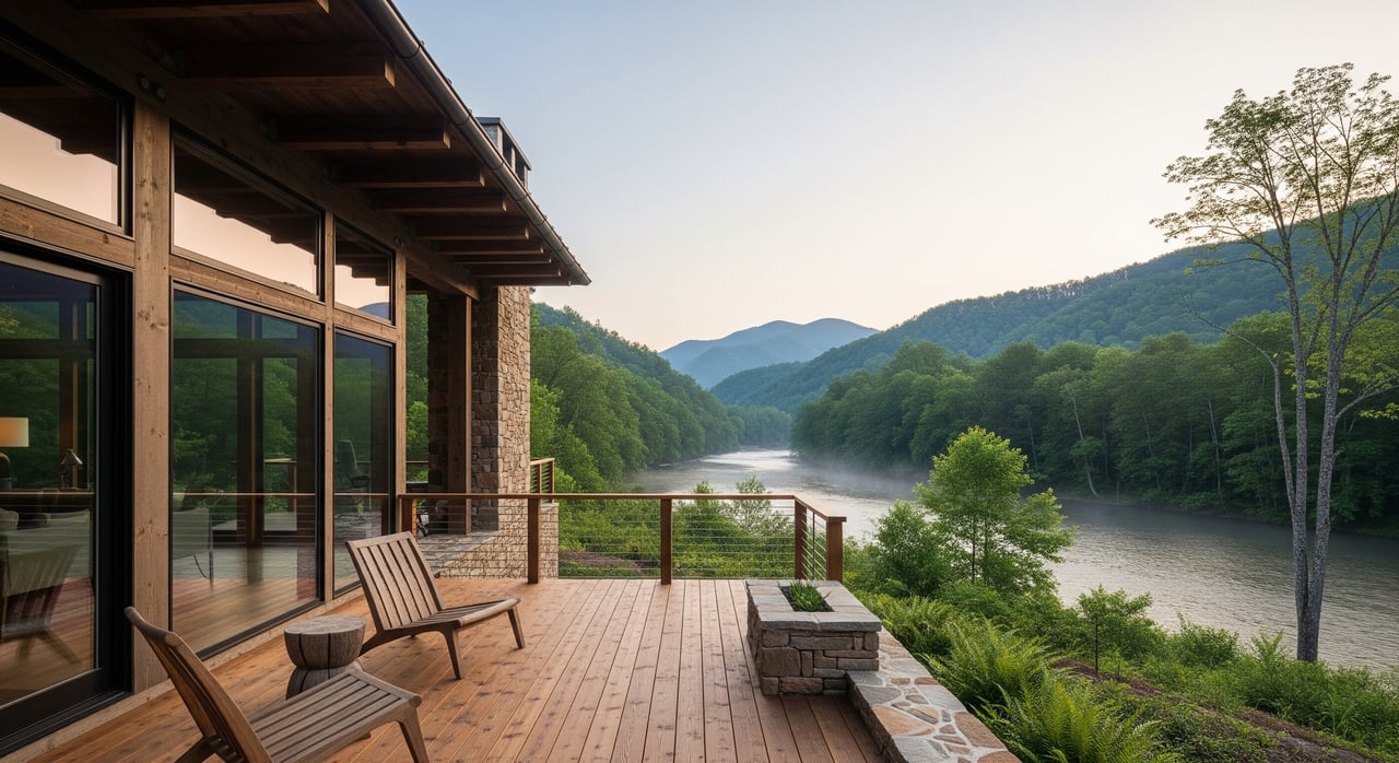
Imagine waking up to soft morning light on the water, a kayak on the bank, and the quiet of Ashe County all around you. If you are considering a second home or weekend retreat near the New River in the 28640 area, you are in the right place. You want scenery, space, and easy ways to get on the water without surprises later. This guide explains how life along the river really works, what kinds of properties you will find, and the key checks to do before you buy. Let’s dive in.
Why the New River appeals
The New River flows north through Ashe County and is commonly described as one of the oldest rivers in North America. Here you will find a rural mix of forests and farmland at a higher elevation than most of North Carolina, which keeps summers pleasant. The river corridor supports paddling, tubing, fishing, wildlife viewing, and simple riverside picnics. Many buyers choose Ashe County for its low-density, outdoor-focused lifestyle and a slower pace that is still close to Jefferson and West Jefferson services.
Seasonality matters. Late spring through early fall are peak months for paddling and tubing, while fishing follows state regulations and seasonal patterns. In winter, cold, ice, and snow can affect road access, utilities, and whether you will use a home year-round or seasonally.
How you access the river
Public and managed access
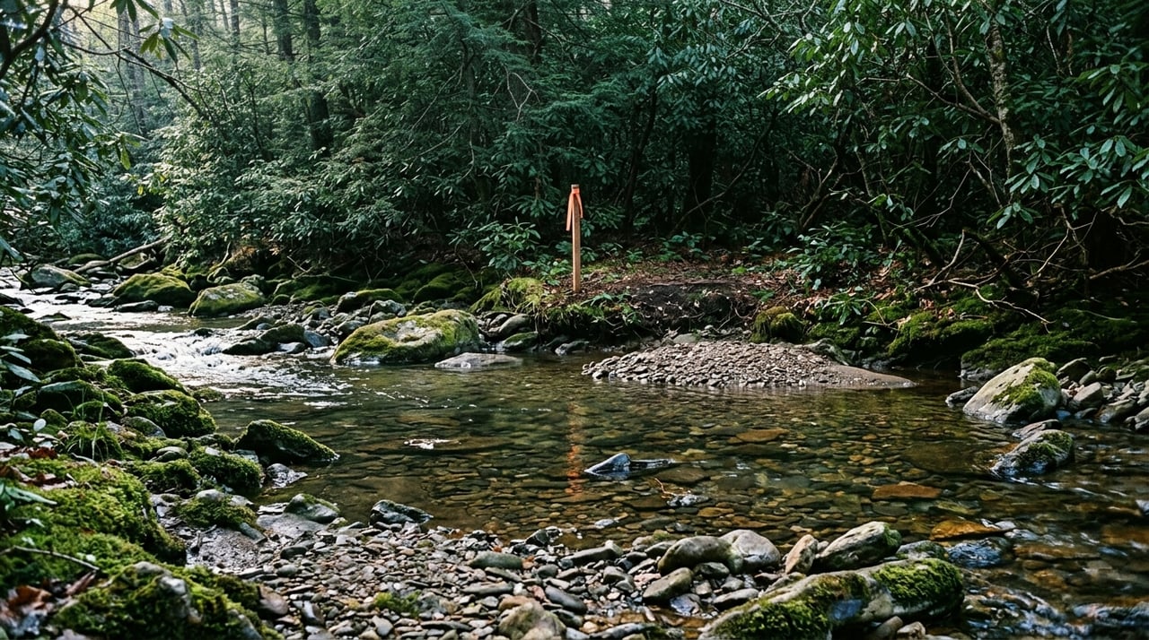
You can reach the water at a mix of state-managed sites, county or town parks, and recognized roadside pullouts. These spots are used for day trips, paddling launches, and take-outs. Some bridge crossings and county road pull-offs are common starting points for floats. Local outfitters often provide shuttles, guided trips, and the most current read on water levels and hazards.
Private and community access
Many river-oriented neighborhoods or cabin communities include private launches or shared easements just for owners. If a listing promises “river access,” confirm whether there is a recorded easement or true river frontage. Homeowners’ associations may have rules about docks, access hours, guest use, or short-term rentals. Always review those documents early.
Planning your float day
Float lengths vary. Some stretches are short and perfect for a casual tube run, while others need shuttle planning and more time on the water. Water levels shift with rain and season, so expect shallow spots during dry spells and stronger current after storms. Safety is essential: wear life jackets, plan shuttles in advance, share your float plan with someone, and remember that cell coverage can be limited in rural areas.
Common property options
True riverfront parcels
Riverfront lots give you the closest connection to the water and often the strongest price premium. These parcels can be long and narrow along the bank or sit on wider terraces. Expect more interaction with floodplain mapping and potential bank erosion. If you want a dock, clearing, or bank work, permits may be required.
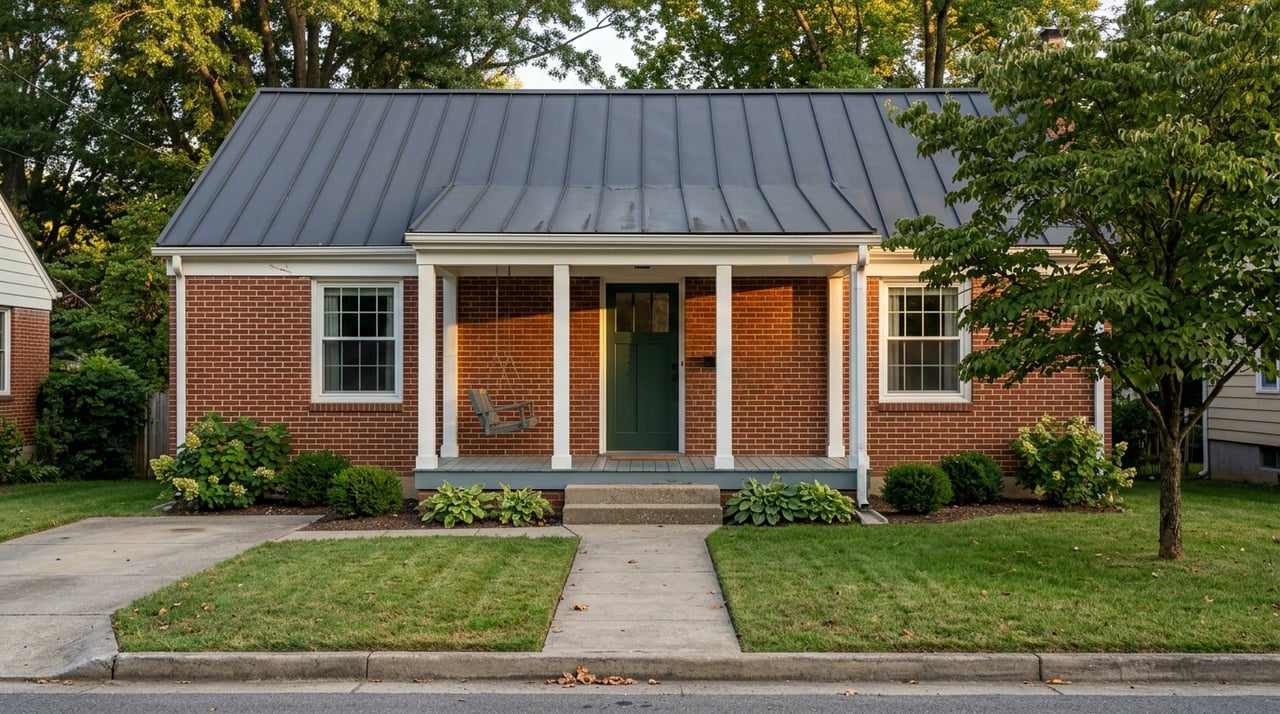
Near-river homes and cabins
Homes within a short walk of the river are a good middle ground. They often sit slightly higher than the bank, which can reduce flood concerns and keep views open. You may access the river across a small field or local road. Make sure any access path or easement is recorded, clear, and usable in all seasons.
Subdivisions with shared access
Some neighborhoods cluster homes and offer a shared riverside park, picnic area, or launch. This setup can simplify maintenance and provide predictable amenities. The trade-off is rules. Review covenants for any limits on docks, rentals, or improvements along the riverbank.
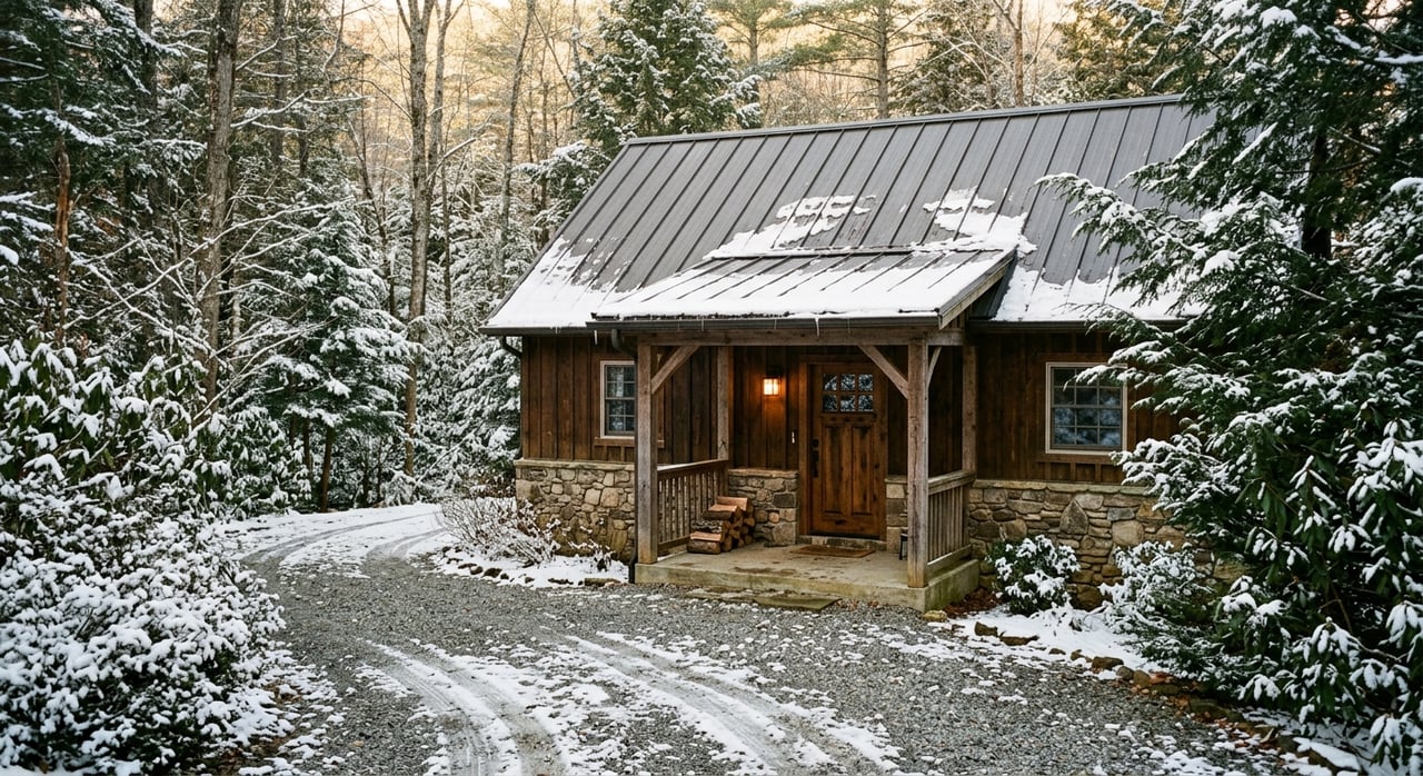
Farms and acreage tracts
Larger properties along the river often blend pasture, woods, and water frontage. These are great for privacy and recreation. In rural areas, you will likely rely on a septic system, a well, and private roads. Confirm soil suitability, access agreements, and the cost to build driveways or bring utilities to a future homesite.
Site conditions to evaluate
Topography and buildability
Ashe County’s river corridor includes steep slopes, narrow floodplains, and terrace benches. A topo or boundary survey helps you understand what is truly buildable and where a driveway can go. Setbacks, stream buffers, and slope can influence your home’s footprint and design.
Septic and soils
Most rural homes rely on septic. A soil evaluation and perc test will determine where a drainfield can be placed and how large it should be. If a property cannot support your planned bedrooms due to soil limits, that can reshape your build plan or budget.
Roads, utilities, and winter access
Unpaved private roads are common and can require shared maintenance. Power lines may be near the property, but broadband and cell coverage can be spotty in remote spots. In winter, snow and ice may limit access, so plan for plowing, road base upkeep, and emergency contingencies.
Floodplain, buffers, and erosion
Riparian parcels are more likely to fall within FEMA flood zones. That can affect insurance needs, lender requirements, and build placement. Vegetation along the bank helps stabilize soil and reduce erosion. Many shoreline improvements and tree removals require permits and environmental review. Study bank conditions and ask about any past stabilization work.
Due diligence checklist
Use this step-by-step sequence to protect your purchase and timeline:
- Map and deed review. Confirm whether the property actually fronts the river and whether any “river access” is a recorded easement or merely informal use.
- Title and riparian rights. Have your attorney verify riparian rights and any deed language tied to river use, docks, or streambed ownership.
- Flood mapping. Check FEMA flood maps and, if the home sits in a flood zone, request any existing elevation certificate from the seller.
- On-the-ground visit. Walk the parcel in the season you plan to use it. Talk with nearby owners and a local outfitter about conditions, hazards, and seasonal patterns.
- Septic and survey. Order a soil perc test for septic, plus a topographic or boundary survey if you plan to build or add improvements.
- Permits and buffers. Contact county planning and inspections to confirm permits, setbacks, and riparian buffer rules for any bank work, docks, or tree clearing.
- Insurance quotes. Speak with local insurance agents about flood coverage costs and any rural location factors that affect homeowners policies or rentals.
Safety and seasonality tips
- Water temperature can be cold, even in spring. Dress for conditions and use life jackets.
- After strong rain, the river can carry debris and have stronger current. Consider delaying floats and watch for strainers or submerged hazards.
- Winter can bring limited access, icy roads, and frozen equipment. If you plan to visit year-round, prepare vehicles, driveways, and water systems accordingly.
- Cell coverage is not guaranteed. Share float plans and carry basic safety gear.
Costs and ownership factors
- Pricing. Expect a premium for true river frontage. Near-river homes and shared-access communities can offer value with fewer flood concerns.
- Maintenance. Budget for bank stabilization, driveway repairs, septic upkeep, and tree work. Rural ownership includes periodic infrastructure costs.
- Insurance. Flood insurance may be required or recommended in mapped zones. Premiums vary by elevation and structure type.
- Rentals. If you plan short-term rentals, review county and town rules, as well as HOA covenants if applicable. Also confirm your insurance allows rental use.
How a local expert helps
River properties reward careful homework. You want someone who understands flood maps, rural roads, septic realities, and the difference between recorded and informal access. You also want a steady hand who can coordinate soil tests, surveys, and local agency conversations, especially if you live out of town.
As a lifelong Ashe County resident with deep ties across the High Country, Jeff combines local knowledge with hands-on service. He is experienced with both homes and land, including acreage, farm parcels, and build sites along the river corridor. If you are remote, he can arrange virtual showings, coordinate inspections, and keep your timeline on track. When you are ready, he will help you compare sites, confirm access, and plan a smooth closing.
If the New River is calling your name, let’s line up the right steps and find a property that fits how you plan to live and play. Reach out to Jeff Dollar for local guidance from search to closing.
FAQs
What is the New River like near Jefferson, NC?
- It flows north through rural farmland and forest at higher elevation, with a calm pace suited to paddling, tubing, fishing, and relaxed riverside time.
How do you verify river access on a property in Ashe County?
- Confirm recorded frontage or easements in the deed, then have your attorney verify riparian rights, HOA rules, and any limits on docks or shoreline use.
What flood and insurance issues apply to New River homes?
- Many riparian parcels fall in FEMA flood zones, which can impact insurance and lending; request elevation data and get quotes from local agents early.
Are short-term rentals allowed near the New River in 28640?
- It depends on county or town rules and any HOA covenants; check local ordinances and governing documents before assuming rental income.
What seasons are best for paddling and fishing on the New River?
- Late spring through early fall are peak for floats, while fishing follows state regulations; winter conditions can limit access and use.